Visualizations that show Where People Run in Major Cities
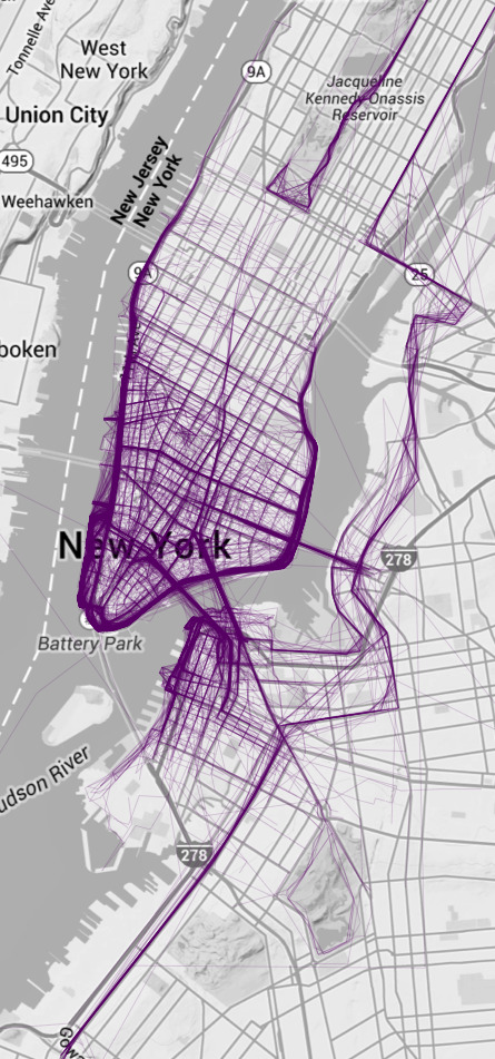
Ever since I saw Nikita Barsukov map running traces in a handful of European cities, I wondered what the paths looked like for others. A lot of people make their workouts public on a variety of services, so there’s definitely accessible data. I use RunKeeper for cycling. I sampled from there.
AirBnB vs Berlin. What data tell us about portals of the so-called sharing economy and gentrification
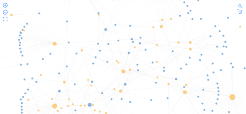
Gephi: open source interactive visualization and exploration platform for all kinds of networks and complex systems
Simple Critical Infrastructure Maps
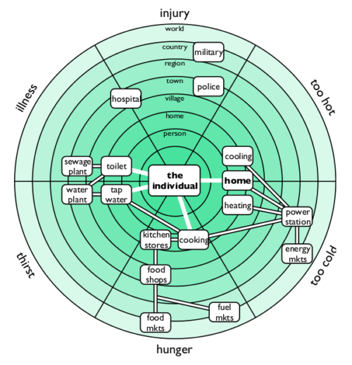
Simple Critical Infrastructure Maps is a Creative Commons licenced mapping and analysis tool for evaluating personal and social resilience. It is intended to be used for planning, and is simple enough to learn during a crisis to facilitate cooperation and effective response. It is also part of the STACKTIVISM toolkit for political and social analysis.

